Port signposting
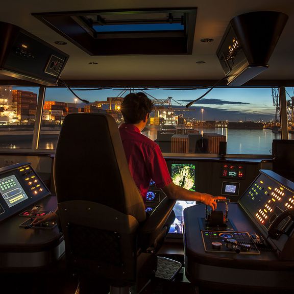
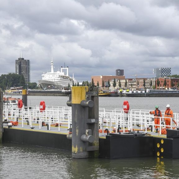
The Harbour Master Port Map contains current information about the port for a safe and smooth journey through the port of Rotterdam.
From the Maasvlakte to past the Erasmus Bridge, it is a daily hustle and bustle. Every year, some 28,000 sea-going vessels and 90,000 inland navigation vessels alone have to find their way across all the winding waterways. An up-to-date port map is therefore essential for effective operations, not only for the ships but for all parties in the port.
We are also working on a digital port map that will show the entire Rotterdam port area, including port numbers and a large number of company names. You will soon find this on our site.

